Property Detail View
Understanding all tabs and data panels in the Property Detail view.
Clicking any property on the map opens the Property Detail panel. This panel consolidates data from up to 12 sources into a tabbed interface. Each tab loads data lazily to maintain map performance.
Overview Tab
The Overview tab contains the Property Fact Sheet — a plain-fact display with data sources. All figures are tagged with their origin (DB / Council API / LINZ DVR / calculated / unavailable). No values are inferred without disclosure.
- Address & Legal Description — LINZ DVR appellation and parcel ID
- Land Area — LINZ parcel area (calc_area) in m²
- Council Valuation (CV) — Most recent rating valuation with year
- Automated Valuation (AVM) — Hedonic model estimate with confidence interval
- Building Material & Condition — From LINZ DVR (where available)
- Zoning — Current operative zone classification
- Smart PDF Download — 6–8 page professional report via DeepSeek V3
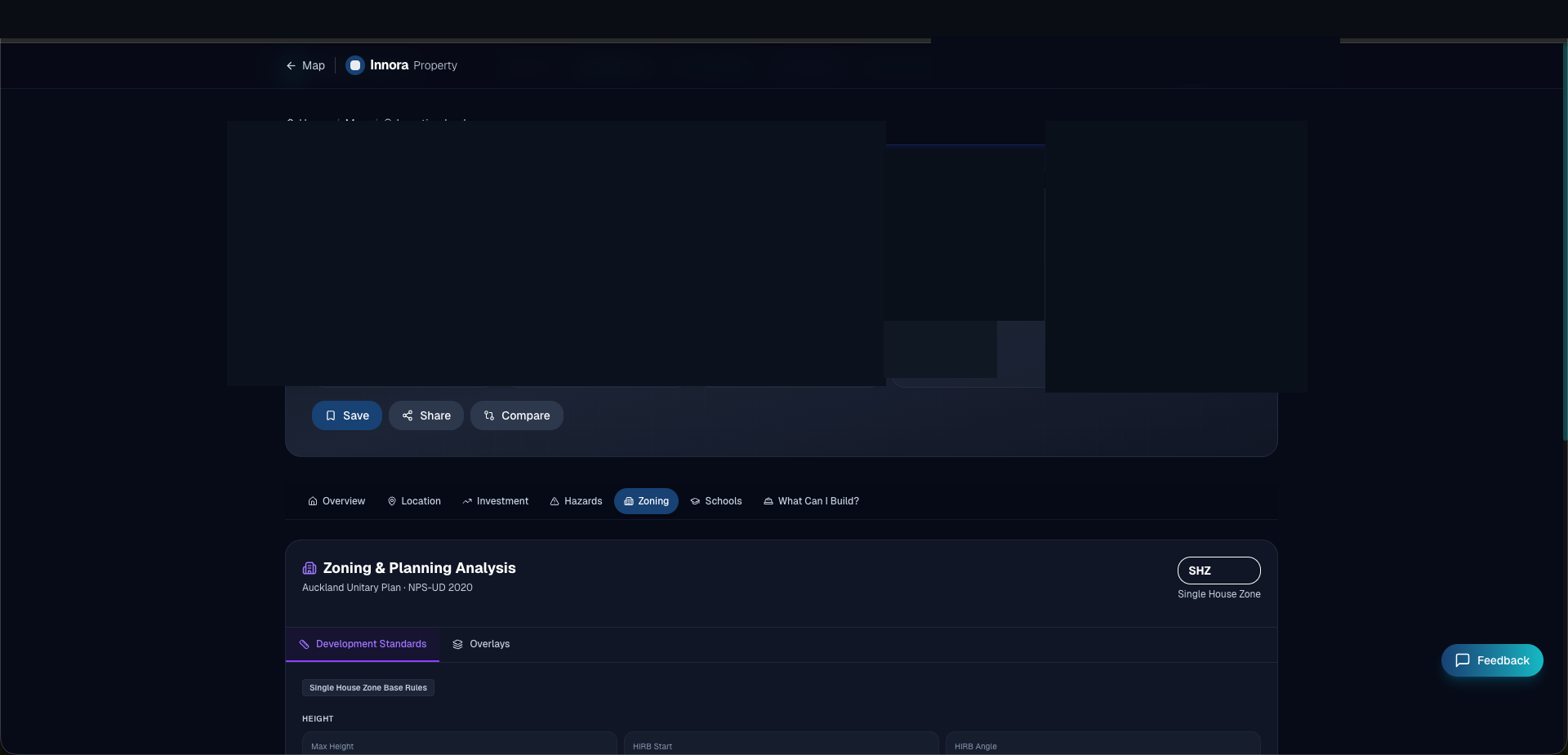
Zoning Tab
The Zoning tab provides structured planning analysis across four sub-tabs:
- Zone Rules — Key development standards: maximum height, setbacks, coverage, recession planes, and density limits extracted from the operative district plan.
- Overlays — Live council overlay scan results (46 Auckland layers). Each overlay shows name, regulatory effect, and the relevant plan section.
- RMA Reform — NES-DMRU Granny Flat eligibility and buildable envelope calculation (Regulation 7 recession plane, site coverage budget).
Investment Tab
The Investment tab provides financial analysis tools linked to the specific property:
- LINZ DVR — Valuation reference data with building age, material, and condition indicators (decoded from DVR codes).
- AVM Estimate — Detailed hedonic model breakdown: base CV, suburb growth multiplier, and up to 5 property-characteristic adjustments.
- Development Contributions (DC) — Estimated DC for Auckland (5 IPA catchments) or Christchurch (7 catchments), with itemised component breakdown.
- Investment Metrics — Gross yield, net yield, land-to-value ratio, subdivision potential flag.
History Tab
The History tab displays building consent and, for Canterbury, resource consent history fetched from ECan ArcGIS. Each consent record shows type, status, description, and issue date. For Canterbury, resource consent records include applicant details (privacy-filtered), status, and distance from the subject property.
Auckland Consent History
Auckland Council's iCAD system does not provide a public API. Auckland building consents are sourced from the platform database and may be incomplete. The system will always disclose data availability status.
Location Tab
- Google Street View — Embedded iframe (no API key required)
- School Zones — MOE ArcGIS school catchment query showing enrolled schools within zone
- Map Export — Download a PNG screenshot of the current map view with a watermark
Found an error? Open an issue on GitHub