Pre-Application Package
How to run a parallel 9-source data fetch for any New Zealand property.
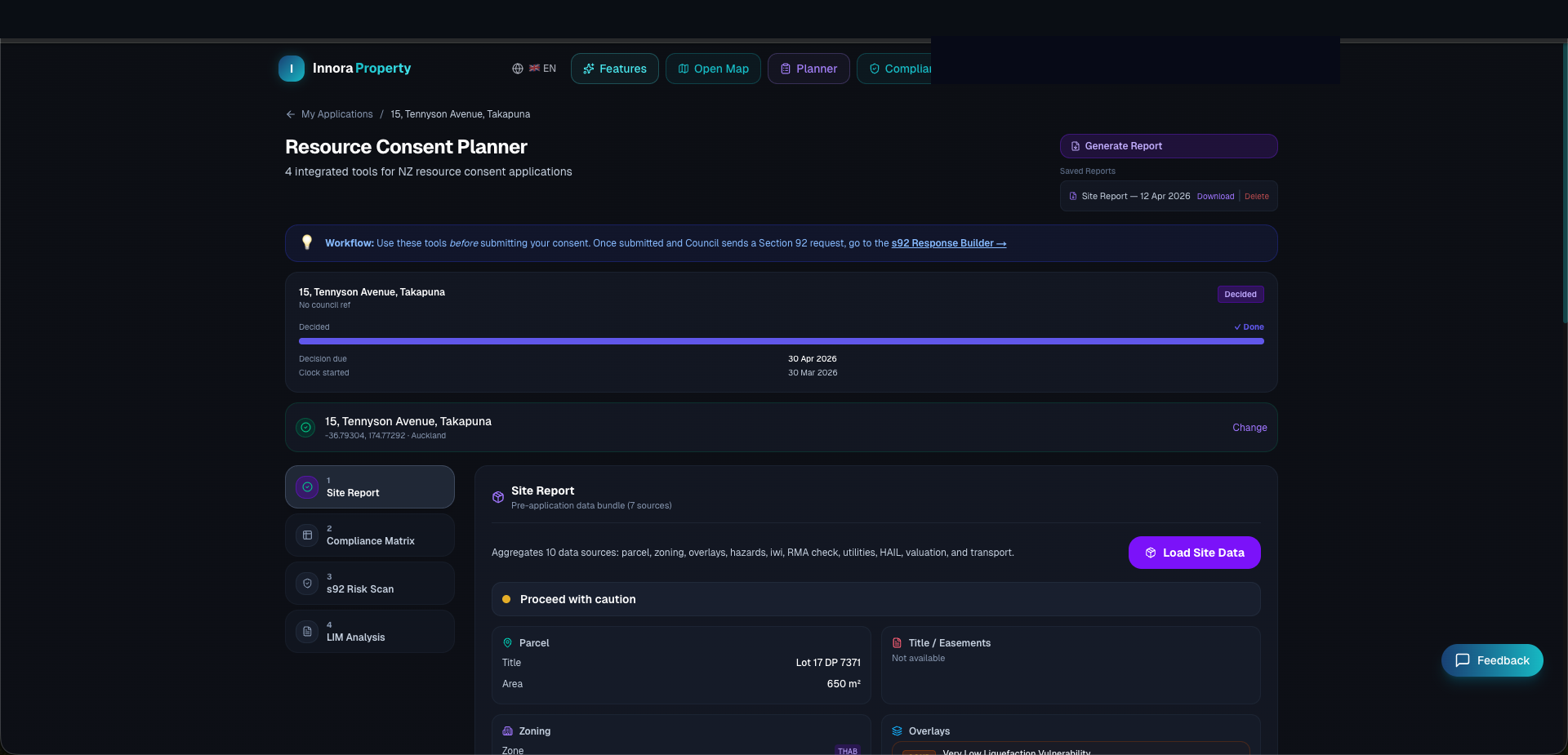
The Pre-Application Package fetches data from nine parallel sources and consolidates the results into a single data card. It is designed to give planners and developers a complete planning context within 60 seconds.
Running the Package
- 1Navigate to Planner in the top navigation bar.
- 2In the Package tab, enter a full street address or decimal-degree coordinates (latitude, longitude).
- 3Click Run Package. The system will indicate which sources are being queried.
- 4Results appear as data cards. Each card is tagged with its source and data vintage.
Data Sources
| Source | Data Provided | Cache TTL |
|---|---|---|
| Council GIS | Operative zone classification, overlay flags | Live |
| LINZ WFS | Parcel boundary, appellation, legal area | 30 days |
| AC ArcGIS (46 layers) | Heritage, viewshaft, SEA, coastal risk overlays | Live |
| ECan LLUR / AC SLUR | HAIL contamination risk within 200 m | Live |
| Watercare / City Care | SW/WW connection points, nearest main distances | Live |
| MOE ArcGIS | School zone enrollment boundaries | 24 hours |
| LINZ DVR | Council valuation, building material/condition | 90 days |
| PostGIS DB | Comparable sales, historical consents | DB |
| Platform AVM | Automated hedonic valuation estimate | Calculated |
HAIL Contamination Screening
The Hazardous Activities and Industries List (HAIL) screening queries the Auckland Council Selected Land Use Register (SLUR) and the ECan Listed Land Use Register (LLUR) for any known contamination activities within a 200-metre buffer of the subject property.
HAIL Positive Result
A positive HAIL hit does not confirm contamination — it flags that a hazardous activity has historically operated within proximity. A Phase 1 Preliminary Site Investigation (PSI) by a suitably qualified environmental professional is required before any earthworks consent can be lodged if the property itself is on the HAIL register.
Found an error? Open an issue on GitHub